On this page:
Riparian land and bushfire
Riparian land poses a lower fire threat to a landholder’s property, including to crops, livestock and built assets, than the threat posed by other parts of the landscape.
Any significant patch of vegetation situated close to assets may pose a fire threat. However, under low-to-moderate fire danger conditions, well-managed riparian vegetation is less likely than pasture or crops to contribute to the spread of fire across a property or the wider landscape.
This is largely because:
- fire will spread more quickly in dry grasses or crops compared with forest (provided there is only limited spotting)
- trees generally reduce wind speed, and the rate and intensity of fire
- riparian land occupies a relatively small proportion of the broader landscape.
Fire is also much less likely to start on riparian land because it’s:
- not prone to lightning strikes
- too remote for arsonists
- moist and more resistant to burning
- sheltered from the wind and sun.
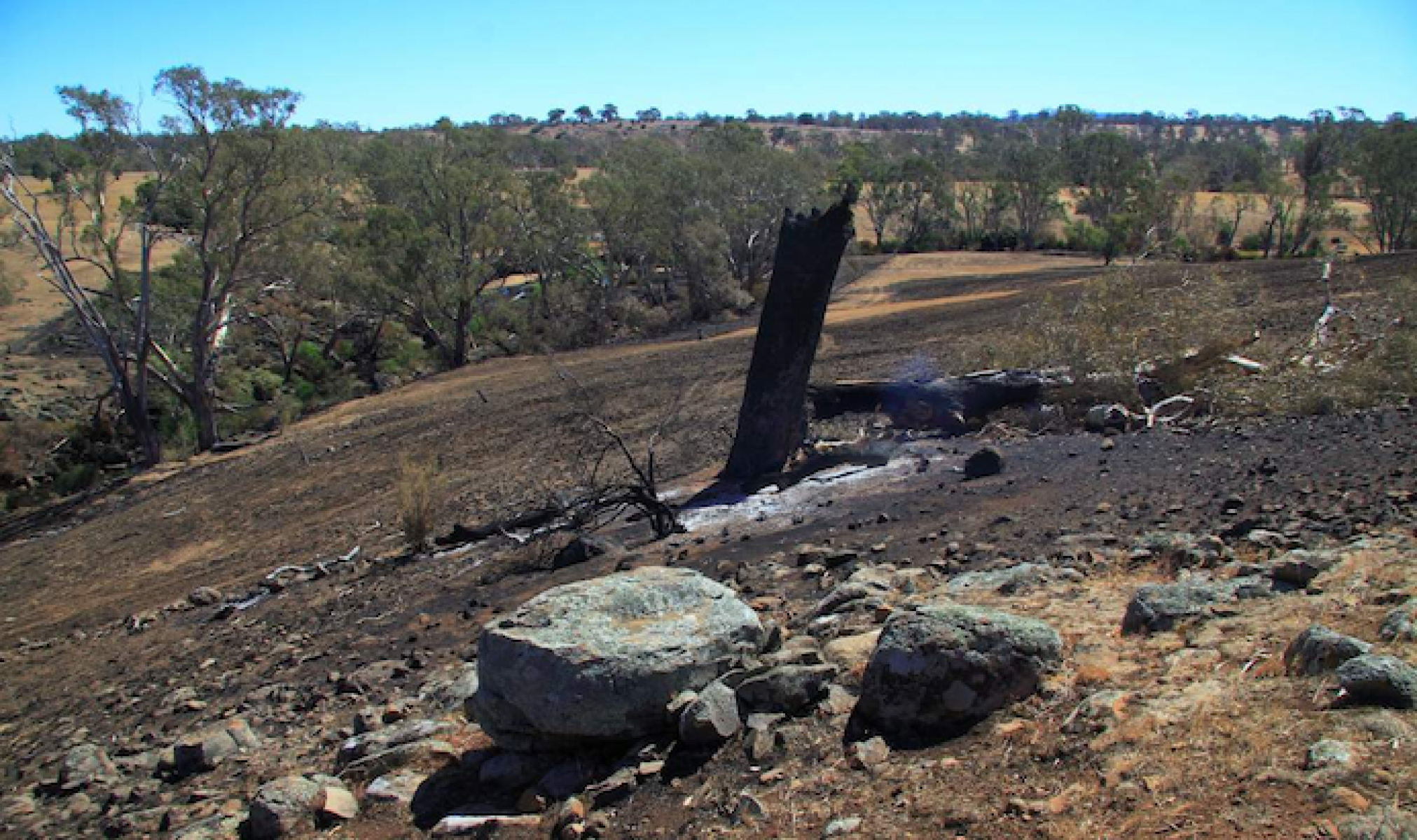
Built assets would typically be under greater threat from dry pastures and nearby unmanaged windbreaks than from riparian land, which is often further away from farm assets. In addition, riparian land does not typically act as a wick or fuse. Fires will burn most rapidly in the direction of the wind, not along a waterway.
Extreme fire events, such as the February 2009 bushfires in Victoria, are rare. In conditions of protracted drought and extreme fire weather, all vegetation can burn.
In these situations, riparian land will have less influence on fire spread and impacts than the landscape level grass and forest fuels.
Fire management and planning
Fire management and planning need to be considered in riparian management activities including:
- long-term weed management
- setbacks from the riparian land to built assets (such as houses and sheds)
- the establishment of access points at strategic locations within the riparian land for fire suppression agencies, particularly to access reliable watering supplies for firefighting tankers.
Ongoing management of riparian land from a fire management perspective is the responsibility of landholders on both private land and licensed Crown frontage.
A range of comprehensive resources have been compiled so landholders can learn more about fire and riparian land and can manage their properties to be better prepared for fire.
Visit the CFA website on how to prepare your property for fire.
Riparian land and bushfire resource documents
Impacts of riparian land on erosion
Healthy riparian vegetation reduces river erosion and flood damage.
High-quality riparian vegetation corridors are resistant to flood related channel change , for example bed and bank erosion and creation of new flow paths. The characteristics that support this resistance include:
- Structural diversity: it contains instream vegetation, bank ground cover, shrub species and trees.
- Corridor width: native vegetation riparian corridors need to be an appropriate width to ensure they are ecologically and physically functional.
- Corridor longitudinal connectivity: native vegetation riparian corridors should be continuous (or largely continuous).
Channel change during floods
A study in Victoria highlighted the value of high quality, structurally diverse native riparian vegetation by showing that:
- Its absence can increase the occurrence, extent and scale of flood-related channel change that causes major damage to river health and infrastructure which is costly to repair.
- Revegetation programs can be effective at reducing flood-related channel change.
- The revegetation must be high quality and contain diverse structural elements comprising instream, bank and floodplain vegetation including sedges, reeds, ground covers, shrubs and trees.
- A strong inverse relationship existed between erosion and the presence of high quality, structurally diverse native vegetation.
The study used paired site assessment to test the proposal that riparian vegetation established through a revegetation program can limit flood-related channel change.
At the paired sites, there was little to no channel change at sites that had been the subject of revegetation programs. However, high rates of flood-related channel change were found at sites that did not have high quality, structurally diverse native riparian vegetation.
Read the report
Page last updated: 08/09/23