On this page:

What are wetlands?

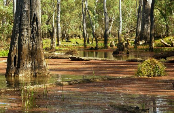
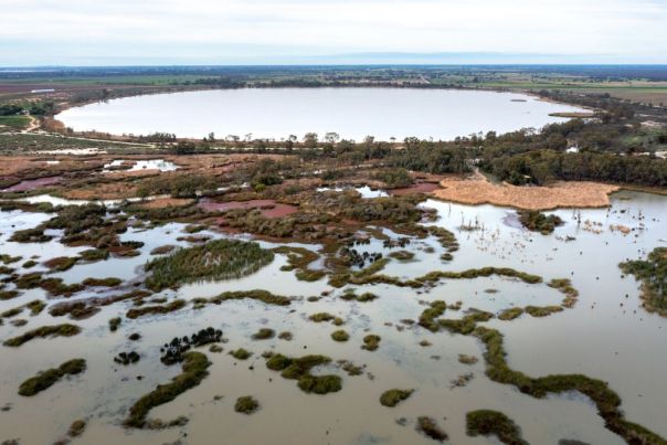
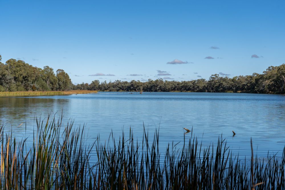
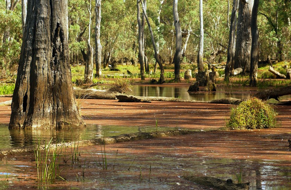
Victorian wetlands are ecologically diverse. They are characterised by still or very slow-moving water and they can be permanent or temporary. Their waters can also be freshwater or salty.

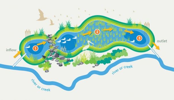
During droughts, wetlands that still have water become crucial refuges for plant and animal species. They can be natural or constructed for things like water storage and sewerage treatment facilities.

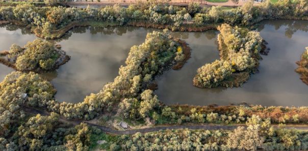
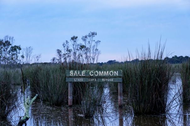
Wetlands that have been altered by human activity can also be restored, allowing them to once again be home to native plants and animals. In Victoria, some wetlands are recognised for their internationally important environmental values. These are known as Ramsar wetlands.

Wetland types can include:

  • billabongs
  • lakes
  • meadows
  • marshes
  • swamps
  • alpine peatlands
  • mangroves
  • mudflats
  • seagrass areas
  • saltmarshes.

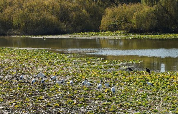
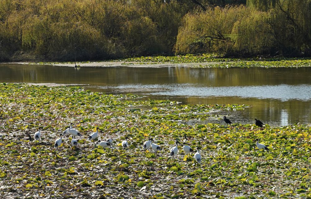
Many species in Victoria rely on wetlands for all or part of their life cycle. These are:

  • fish
  • invertebrates
  • birds
  • amphibians
  • reptiles
  • mammals.

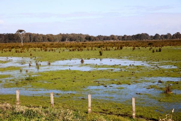
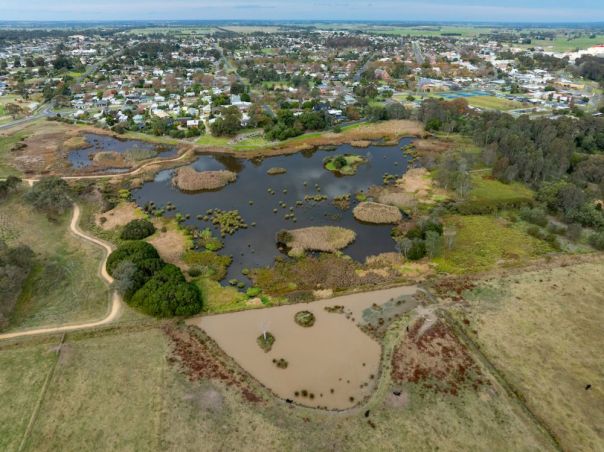
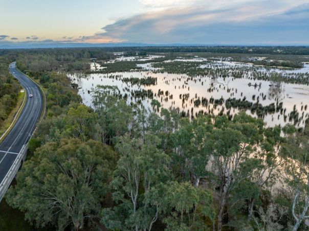
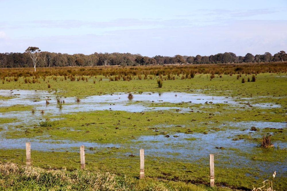
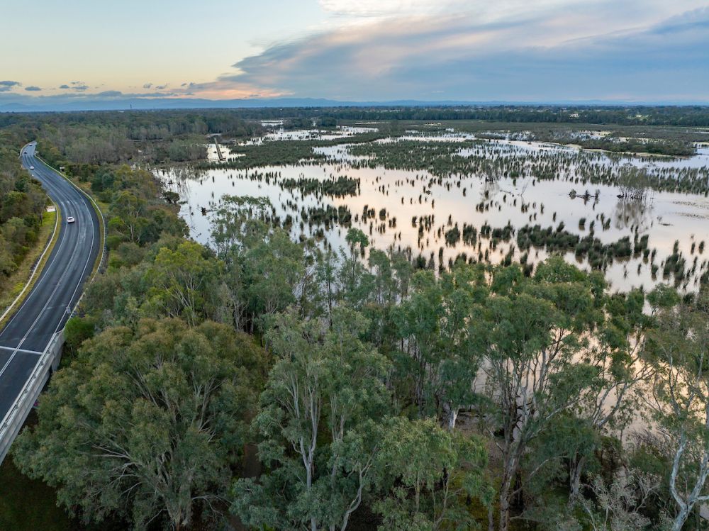
What are floodplains?

Floodplains are low-lying areas next to rivers and streams that are naturally subject to flooding. Cities and towns built upon floodplains may be in danger of flooding, which can be eased by Water Sensitive Urban Design.

Wetland ecosystems also provide important services to nature and humans. They:

  • reduce flood peaks, mitigating the impacts of flooding and erosion
  • naturally filter sediments and contaminants from water
  • can reduce greenhouse gases in the atmosphere by storing carbon
  • are culturally significant to Traditional Owners and Aboriginal histories
  • provide recreational opportunities such as boating, camping, bird watching and fishing that support tourism and local economies.

Under threat

Wetlands and floodplains health are under threat from climate change and changes in how we use land and water. For healthy wetlands and floodplains, we need strong interconnection between these systems.

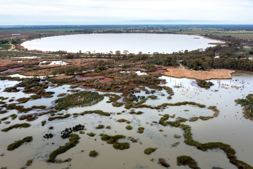
Some of Victoria’s wetlands and floodplains are allocated water to improve and maintain their condition and connectivity. This is called environmental watering. This process aims to restore the natural wetting and drying cycle of these environments that have been changed by human activity.

Case studies

Gunbower National Park is an example of the interconnection between Victoria’s waterway systems. Water is channelled to this floodplain from other waterways to restore vegetation and habitat for flora and fauna, including endangered species like the Australasian Bittern.
North Central Catchment Management Authority shows you how.

Watch the videos

Delivering water to the Upper Gunbower Floodplain (3:28)

Bringing Back the Bittern to wetlands (4:31)

Meet the expert

Andrea White works in the Waterway Health team at the Department of Energy, Environment and Climate Action (DEECA). In this video she discusses her love of wetlands and the role she has played in protecting these areas for 30 years.

Source: DEECA

Photo essay

Further resources

Below you can find a variety of resources to further research and understand wetlands and floodplains.

Wetlands in Victoria – work done to support wetlands.

Alpine peatlands – a glimpse into one of Australia's most vulnerable ecosystems with North East Catchment Management Authority.

Pests, weeds and overabundant species – Arthur Rylah Institute explains how introduced species can harm waterways.

Wetland Connectivity – learn about how wetlands need movement to support biodiversity.

What is environmental water – improving wetlands and floodplains through management.

Constructed wetlands – Melbourne Water explain how man-made wetlands can help the environment.

Floating Wetlands Pilot Project – Westernport Water are exploring wetlands can help with wastewater treatment.

Mapping wetland vegetation – researching wetlands and floodplains to better understand them with West Gippsland Catchment Management Authority.

World Wetlands Day

Significant wetlands in Victoria – our state has these globally important sites.

Coastal Wetlands – the Victorian National Parks Association explores these saltmarshes, mangroves, and floodplain billabongs.

From Paddock to Paradise – wetlands revival at Luxton Park.

Love Our Lakes

Welcome to Winton Wetlands

Catchment Management Authorities (CMA) do a lot of work to maintain our wetlands. Below are some noted cases. You can search this map to find which CMA is responsible for where you live and find out more:

The Arthur Rylah Institute have compiled profiles of these significant wetlands:

Victorian Floodplain Management Strategy – a strategy to help improve flood preparation.

Mallee Regional Catchment Strategy – supporting 139,062 hectares of floodplains and wetlands.

Catchment Management Authorities (CMA) do a lot of work to build flood-resistant communities. Below are some noted cases. You can search this map to find which CMA is responsible for where you live and find out more:

Alpine Peatlands Protections Project – North East Catchment Management Authority explains how peatlands clean and filter water that travels into our waterways.

Clydebank wetland restoration – West Gippsland Catchment Management Authority help with an 11-hectare property prone to flooding.

The Natural Cycle of Wetlands – discover the natural cycle of the Lower Latrobe Wetlands with West Gippsland Catchment Management Authority.

Water for the environment – it’s all about timing with the Victorian Environmental Water Holder.

The Victorian Murray Floodplain Restoration Project is working to get water back where it is needed. These videos explain how:

Australian wetlands database – explore Australia's Ramsar wetlands.

Flood Eye mapping tool – North Central Catchment Management Authority have developed with resource with information specific to your property.

Victorian wetlands map – take a tour and count how many have you visited.

Victorian Murray Floodplains Restoration Project map – discover what's being done along the River Murray.

Wimmera Interactive Catchment Map – Wimmera Catchment Management Authority have collected 25 years of data about flood and waterways.

Ramsar Wetland Areas in Victoria– download these polygons defining Ramsar wetland areas in Victoria from our spatial data platform.

Page last updated: 13/08/25