Today marks World Water Monitoring Day, a day to recognise the important role water monitoring plays in managing, understanding and protecting water resources.
Water monitoring helps us determine the quality and amount of water flowing, or standing, in waterways such as rivers, wetlands, estuaries, channels, lakes and storages, over time.
Data collection
To ensure we’re effectively and efficiently monitoring water, DEECA manages the Regional Water Monitoring Partnership (RWMP) to share data and information on surface water, groundwater and rainfall.
The RWMP is a voluntary collaboration between more than 55 organisations including water corporations, Catchment Management Authorities, local government, the Bureau of Meteorology and the Murray-Darling Basin Authority.
Data is collected from around 900 surface water monitoring stations and over 1400 groundwater bores across the state and published to allow effective and transparent evidence-based decision making.
Using water monitoring data
The data collected from across the state is essential for a range of purposes, including:
- guiding daily water management and operations
- detecting and managing events such as providing early flood warnings to communities
- informing water supply and environmental decisions
- assessing water resources and water quality for use
- baseline assessments and long-term understanding.
Streamflow monitoring
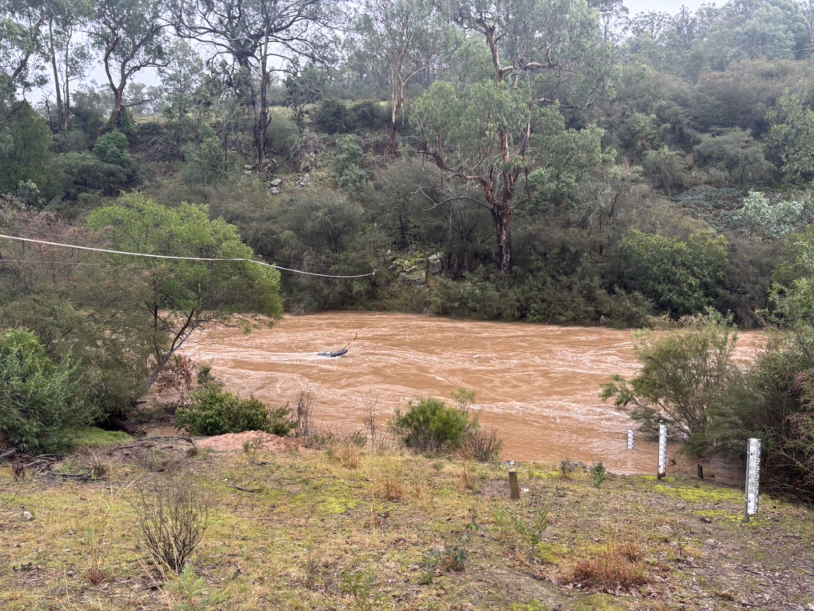
Along with water level and quality, one of the key pieces of information we collect is streamflow – the way that water flows through streams and rivers.
To understand streamflow, we need to collect gaugings – crucial bits of information that tell us how much water flows past a specific point in a river at a given time.
These gaugings allow us to learn more about how the streamflow in a river changes at different water levels and over time as riverbanks shift with erosion and sediment.
Hydrographers use a range of different pieces of scientific equipment to measure the flow, ranging from handheld devices to unmanned remote control vehicles.
Challenges and opportunities
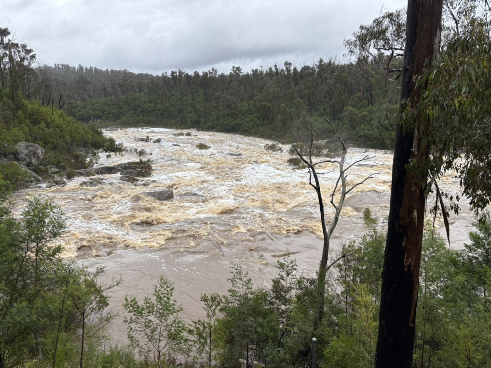
Heavy rain across Gippsland in July 2025 caused flooding in some catchments but also provided the perfect opportunity for our hydrographers to collect gaugings at water levels that are rarely experienced.
Gaugings can be difficult to capture during high flows due to safety, flooded access tracks, and competing priorities of where to send staff as it rarely floods in only one catchment at a time.
There were 21 high flow gaugings collected from rivers and creeks across Gippsland catchments during that period, with many being the highest recorded since the mid-1980s.
The data collected will help improve our understanding of flow in these rivers for future floods.
Find out more
More information on how water data is collected across Victoria can be found at Victoria's Water Measurement Information System.
Page last updated: 29/09/25